The Geographic Information System (GIS) Section supports City of Worcester departments and divisions by assisting users, consulting on projects and providing access to GIS data.
The public has access to GIS maps and data in a variety of ways listed below.

Informing Worcester
Informing Worcester is the City's open data portal. Functional transparency is a primary focus for Informing Worcester. The City has established this open data portal where any and all interested parties can obtain public information at no cost.
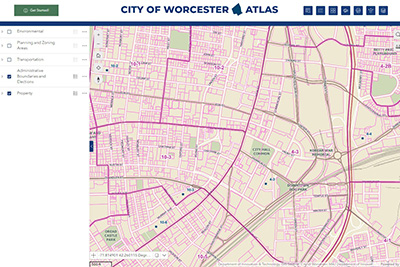
Worcester Atlas
Worcester Atlas is an interactive map viewer that provides residents with access to City property data and records plus many other City map layers. Learn more about this new application and how to get started using it by reading the Introducing Worcester Atlas Storymap.

Online Maps
Learn more about the many Online Maps for the City of Worcester. These maps cover a variety of topics and departments city-wide.
Digital Data Request
GIS Datasets may be downloaded directly from the City's comprehensive open data site, Informing Worcester, where public City information (including non-geospatial data) is available at no cost.
GIS data not available through the City's open data sites may be requested via our Digital Data Request Form. The form details available data layers, deliverable formats and associated costs. Please fill it out completely and mail with your check to the following address:
GIS Data Request
City of Worcester
Department of Innovation & Technology
1 Officer Manny Familia Way, Building A
Worcester, MA 01605
Once we receive your paid request and process the data, instructions will be sent to you explaining how to download and access the file.
Contact us at gis@worcesterma.gov or 508-799-1272 with any questions.
StoryMap Gallery

StoryMaps are easy-to-use, interactive web applications created by City of Worcester staff to share information about a specific location, topic or project. These mobile-friendly applications include a combination of maps, text, photographs and other types of content.
- Climate Resilience in Worcester
- A History of Worcester in 10 Maps
- New Artwork on Main Street Reflects Worcester's Past
- Timeline of WPD Policy and Program Updates in Context of the DOJ Report
- The WooBox Art Project
- Worcester CoolPockets
- Worcester's Green Infrastructure
- Worcester Miyawaki Forests
- Worcester Vision Zero: Priority Network
Contact Information
Address
Innovation and Technology
Worcester Technical High School
1 Officer Manny Familia Way, Building A
Worcester, MA 01605
Contact
Phone: 508-799-1272
Fax: 508-799-1270
ContactDoIT@worcesterma.gov
Hours
Monday - Friday
8 a.m. - 5 p.m.