Property Records Search
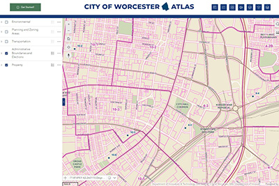
Worcester Atlas
Worcester Atlas is an interactive map viewer that provides residents with access to City property data and records plus many other City map layers. Learn more about this new application and how to get started using it by reading the Introducing Worcester Atlas Storymap.
Permit History
A direct view of the Worcester's growth can be seen by the number of permits and project costs through the years. Developers, businesses and homeowners have invested in the City and made Worcester what it is today. Use our Online Permit History Search to view details of building, electrical, gas, mechanical, plumbing, and temporary permits within the City of Worcester.
Winter Parking Ban
Please note some City streets have multiple parking bans. In other words, a City street may be separated into multiple sections with each section having a different parking ban zone and type.
Online Mapping Tool
Our online mapping tool helps residents understand where and how the Winter Parking Ban applies. If you are required to move your vehicle during a parking ban, the mapping tool will allow you to view nearby streets that may offer better parking solutions. Please continue to follow all applicable parking rules and regulations for the City of Worcester.
Contact Information
Address
Assessing
City Hall Room 209
455 Main Street
Worcester, MA 01608
Contact
Phone: 508-799-1098
Fax: 508-799-1021
assessing@worcesterma.gov
Hours
Monday - Friday
8:30 a.m. - 5 p.m.