Biking & Micromobility Riding in Worcester
Whether you are commuting or riding for recreation, biking or riding other forms of micro-mobility is a healthy, enjoyable, affordable and sustainable way to get around. The Department of Transportation and Mobility is working to make biking and using micro-mobility in Worcester safe, comfortable, connected and convenient.
Bike Lanes
While riding in Worcester, you may encounter different types of bike lanes, paths and lane markings. Learn about them and how they are used.
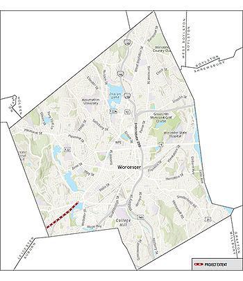 Stafford Street is an approximately 2-mile minor arterial street linking the Webster Square with adjacent commercial and retail businesses, residential neighborhoods and the Town of Leicester. While the street technically has two travel lanes, the lack of pavement markings and inconsistent parking usage leaves very wide travel lanes.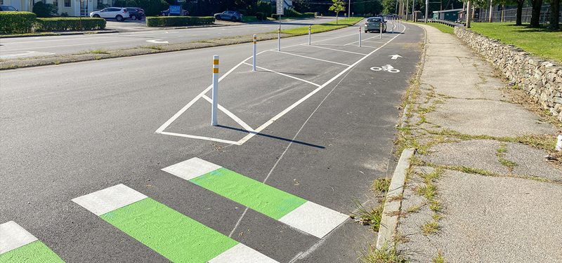
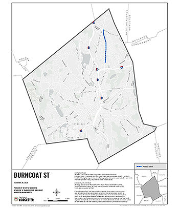 Burncoat Street is an approximately 3.5 mile collector road that expands across various neighborhoods, including Britain Square, Greendale and Burncoat. This project will focus on approximately 1.9 miles of the corridor from Mountain Street East to Randolph Road/North Parkway.