At a Glance
- Replacement and upgrade of water, sewer, and drainage infrastructure.
- Relocation of electrical and other utilities underground from City View Street to Southbridge Street
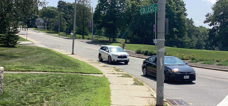
- Reconstruction of College Street between Southbridge Street and the Auburn Townline to improve roadway conditions, sidewalk conditions, address speeding, parking demand, pedestrian crossings, and provide overall safer accommodation for all users.
- Construction is tentatively scheduled to begin 2027 and will be overseen by the Department of Public Works.
Corridor Overview
This project is being led by the DPW Water & Sewer Division with support from the DPW Engineering Division and the Department of Transportation & Mobility. The Water & Sewer Division will be undertaking a project to upgrade and replace the City's aging infrastructure, including the sanitary sewer, water, and drainage systems. This will include installation of a new 16" water main, new sewer-separated manholes, and a new drainage system to increase the capacity and detention.
Following the completion of this work, electrical and other utilities will be placed underground from City View Street to Southbridge Street and the roadway will be reconstructed in a complete streets manner to improve safety and access for all users. This will include improved roadway pavement conditions, improved sidewalks, parking, new crosswalks to meet current and future pedestrian demand, and bike lanes.
College Street is classified as a Collector roadway and carries an average of about 4757 vehicles each day. While the speed limit is 25 mph, the observed average speed of vehicles traveling on College Street is 26 mph and the 85th percentile speed is 33 mph, meaning that 15% of traffic is traveling 8 mph or more over the speed limit.
There were 13 crashes reported to the Massachusetts Department of Transportation along College Street, not including the intersection with Southbridge Street, over the last four full non-Covid impact calendar years (2022-25). 12 involved property damage only and 1 involved non-fatal injuries. This corresponding crash rate is 2.97 crashes per million vehicle miles traveled, which is higher than the statewide average for Collector roadways.
Project Timeline
- Initial Project Design: 2026
- Project Information Meeting: April 30, 2026
- Final Design & Project Bidding: 2027
- Construction: 2027/2028
Public Meeting
An informational meeting concerning the planned utility work, pavement restoration, and preliminary complete streets project design was held on April 30, 2026. Below is the presentation and plan that were presented at that meeting.
Questions or comments about this project may be sent to mobility@worcesterma.gov.
Contact Information
Address
Transportation and Mobility
76 East Worcester Street
Worcester, MA 01604
Contact
Phone: 508-929-1300 ext. 49500
Fax: 508-453-2888
mobility@worcesterma.gov
Hours
Monday - Friday
8:30 a.m. - 5 p.m.